 |
|
||
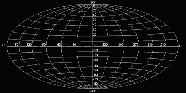
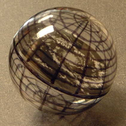
Just like before, the longitude lines run vertically across the grid. If we mark the center line as the zero degree line then each vertical line in the image above represents an increase of thirty degrees until you get back to the starting point. In this way the zero degree line and the 360 degree line are the same place. Latitude lines run horizontal across the grid. The galactic equator is the line across the middle at zero degrees. On the grid below each latitude line represents an increase of ten degrees above and below the equator as shown by the numbers. If you look at a globe of the Earth and you will see the latitude lines marked on the globe as well. The entire distance around the globe is 360 degrees, one full circle. Starting at the equator the top or the bottom of the globe are one quarter of the way around, or 90 degrees around. That is why the latitude lines at the very top and the very bottom are marked as 90 and -90 degrees respectively.

The galactic coordinate grid covers the entire spherical sky, and has been flattened out in the grid image below to make it presentable in two dimensions. This type of grid is what astronomers use to indicate where objects are in the sky.
|
||
|
|
||


