The EUVE Orbit
by
Del Spicer and Leslie Dietiker
What Preparation is Involved?
List of Materials:
- One globe per group of four students.
- One big color world map (planisphere)
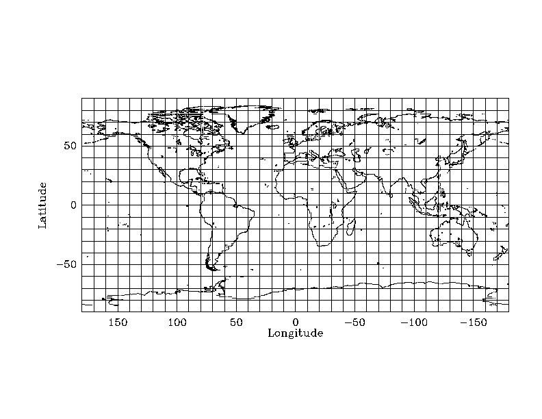
- Copies of
world
maps.
These maps are for students to plot the position of the satellite as
projected
onto the surface of the Earth.
An example of this map with the current EUVE position above the Earth
can be seen by
clicking here.
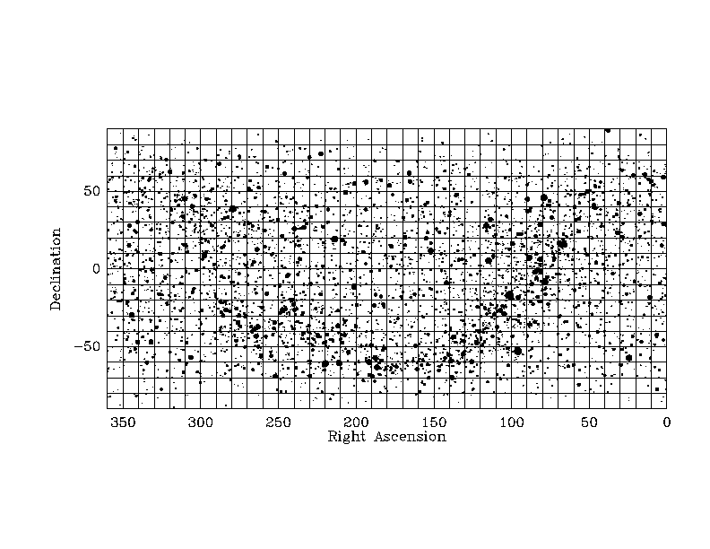
-
Copies of
sky
maps.
These maps are for students to plot the position of the satellite against the
background stars as seen from the center of the Earth.
-
You may want to show your students another illustrative
resource, namely, a movie of the EUVE satellite orbiting the Earth.
-
Graph paper
-
Scientific calculators
-
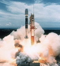
Picture of the
"EUVE
satellite launch"
Setup:
Ideally students should work in groups no larger than
4 or 5 students.
Provide each group with a globe of the Earth and each student
in the group with a copy of the world map, a copy of the sky map, and graph
paper.
In a very visible spot in the classroom post a big color planisphere
of the Earth and
provide large "sticky dots" for students to plot their data. Even though the
students will be plotting on their own copy of the world map, they will enjoy
the process of placing a point on the class map.
Estimated Class Time:
2 - 3 days
For more information about this lesson plan:
Lesson Plan
References
Mail comments to outreach@cea.berkeley.edu
All text, images, and other resources in this
page are Copyright © 1995, The Regents of the University of California. All rights reserved.
For permission, email outreach@cea.berkeley.edu.
 Return to the CEA Science Education Home Page